
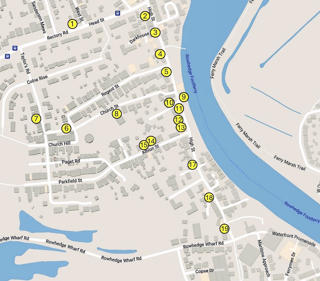
1. The Royal Oak
Locate in Google Streetview
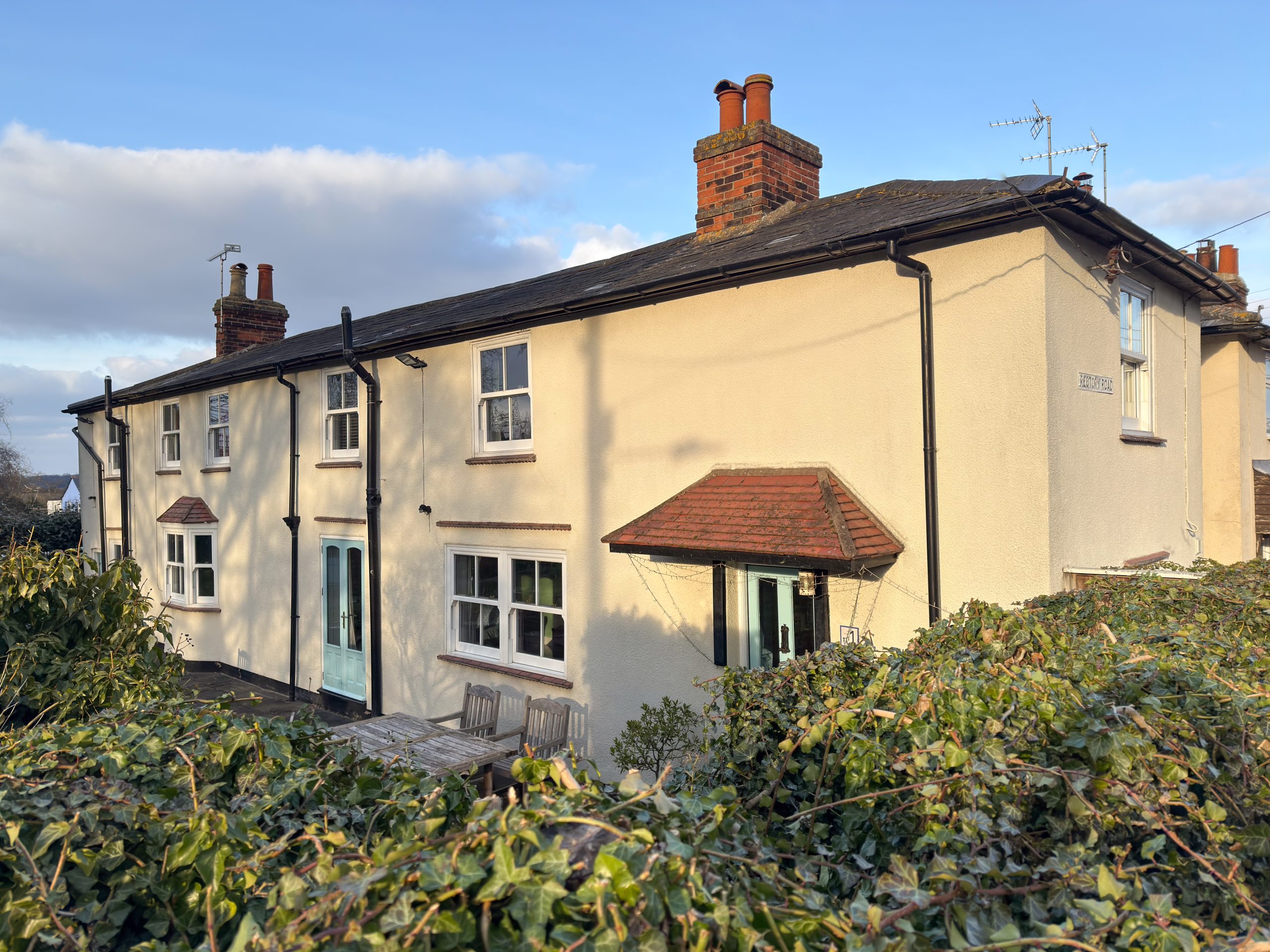
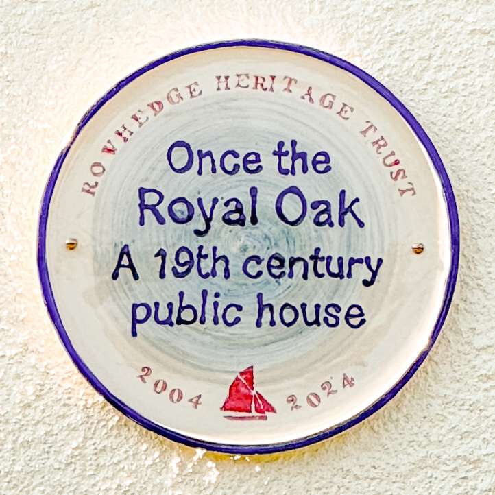
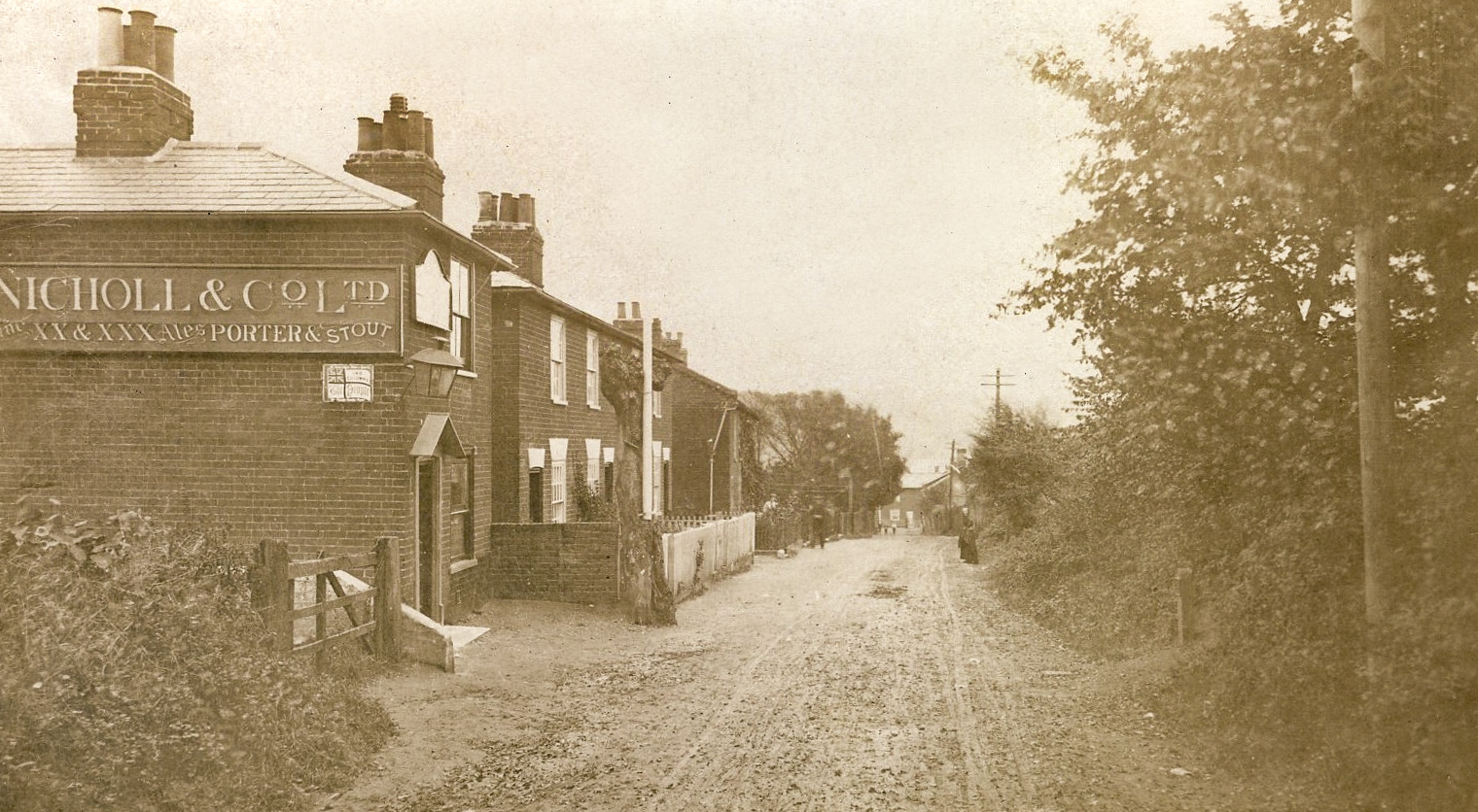
A 19th century public house until WW1. One licensee was Jack Spitty, a well-known Rowhedge smack owner, salvager and smuggler. The Royal Oak Clothing Works is recorded here in 1917. It became the Tropical Clothing Company in 1926 but had closed by 1933. Margaret Leather, author of Saltwater Village, lived here as a girl while her father was the landlord, and in the book she writes extensively of her time there.
[return to interactive map]
2. The Three Crowns
Locate in Google Streetview
Rather appropriately, the first RHT plaque to be created was for the Three Crowns, probably the oldest building in the village. Originally a Tudor-built open hall, the attic was added in the late 16th or early 17th century. The building was extended again in the 18th century. The Three Crowns is one of the three alehouses recorded in Rowhedge in 1758 and remained a village inn until 1969.


3. Dark House Lane
Locate in Google Streetview
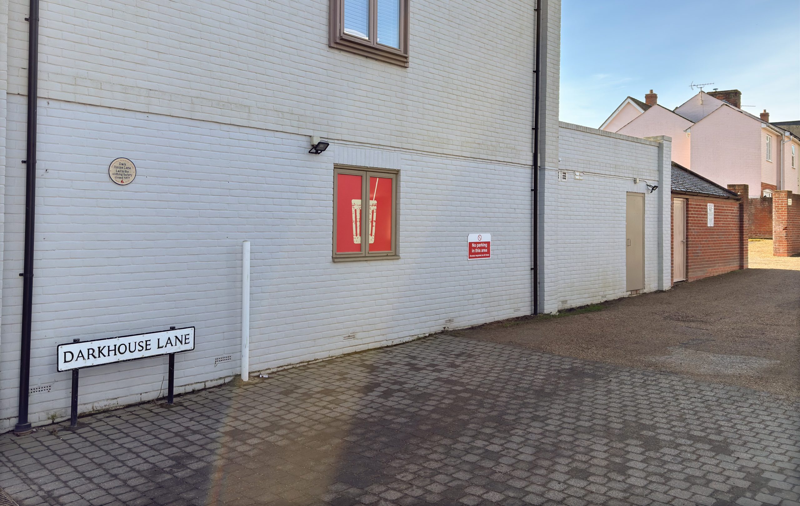
Nobody really knows the origin of this street name, although a 1733 estate map of the Manor of East Donyland shows a piece of land labelled ‘Dark Hall Field’, situated at what could have been the end of this lane, where (lower) Colne Rise was later built. Maybe this was where the ‘Dark House’ was once situated. The Colchester Manufacturing Company originally operated from four cottages in Dark House Lane. The company built a factory here in 1912 and made uniforms for soldiers during the First World War. Over the years the factory doubled in size but eventually closed in 1977.

[return to interactive map]
4. 10 High Street
Locate in Google Streetview
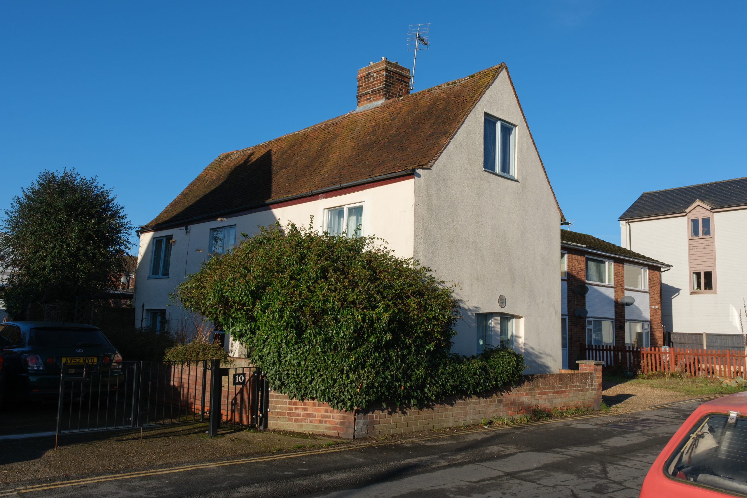
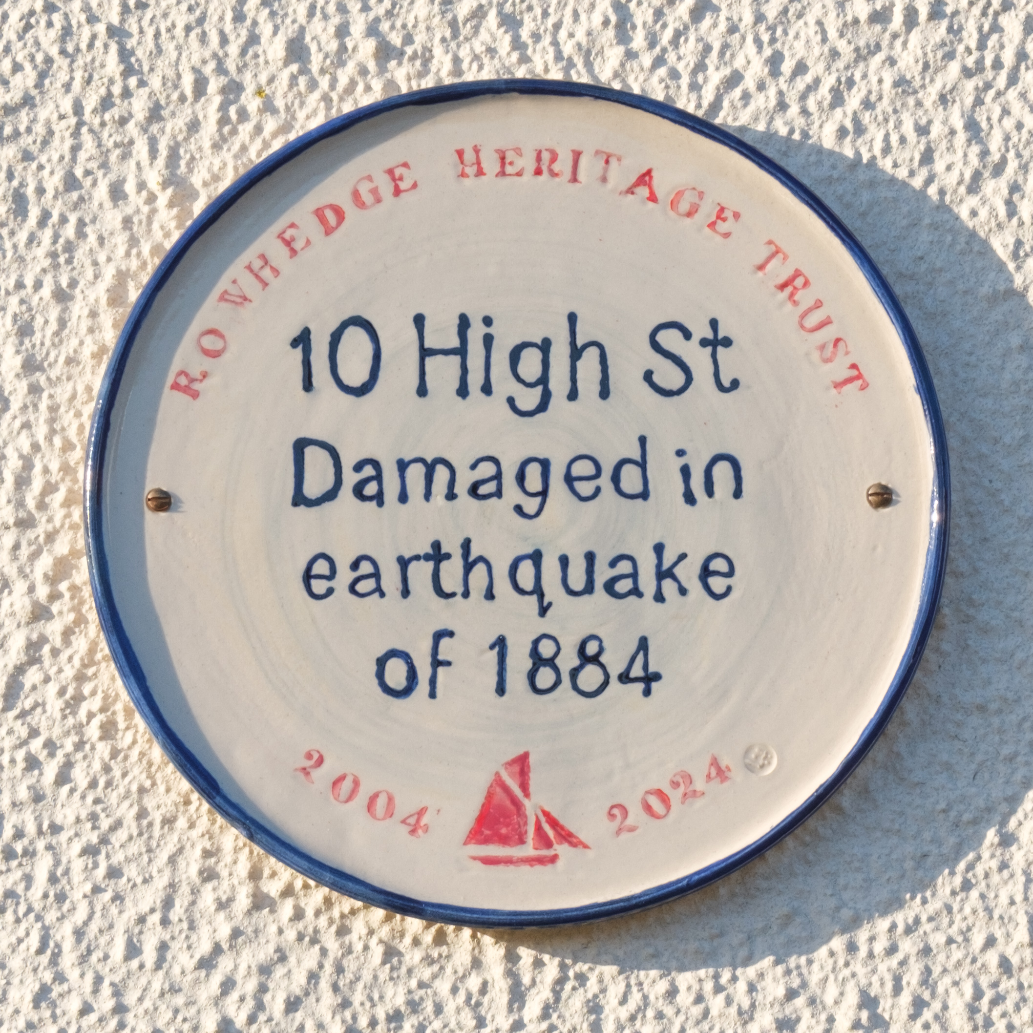
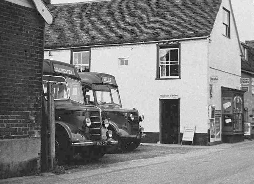
Originally two separate houses, this building was once occupied by the Crosby family, who had a shop here when it was damaged in the earthquake of 1884. Fales bus depot operated from the adjacent, site which later became Riverside Motors.

5. White Lion
Locate in Google Streetview
This was a village inn first recorded in 1758. At the end of the nineteenth century the pub was owned by Daniell & Sons Ltd Brewery) which in 1896 added a hall behind for the benefit of the community (where No 4 Regent Street now stands). During WW2 dances were held in the Hall two or three times a week, which became very popular with soldiers from the nearby barracks. The pub closed in the 1960s and became two dwellings. The Hall was demolished in the early 1970s.


6. Freemasons Arms
Locate in Google Streetview
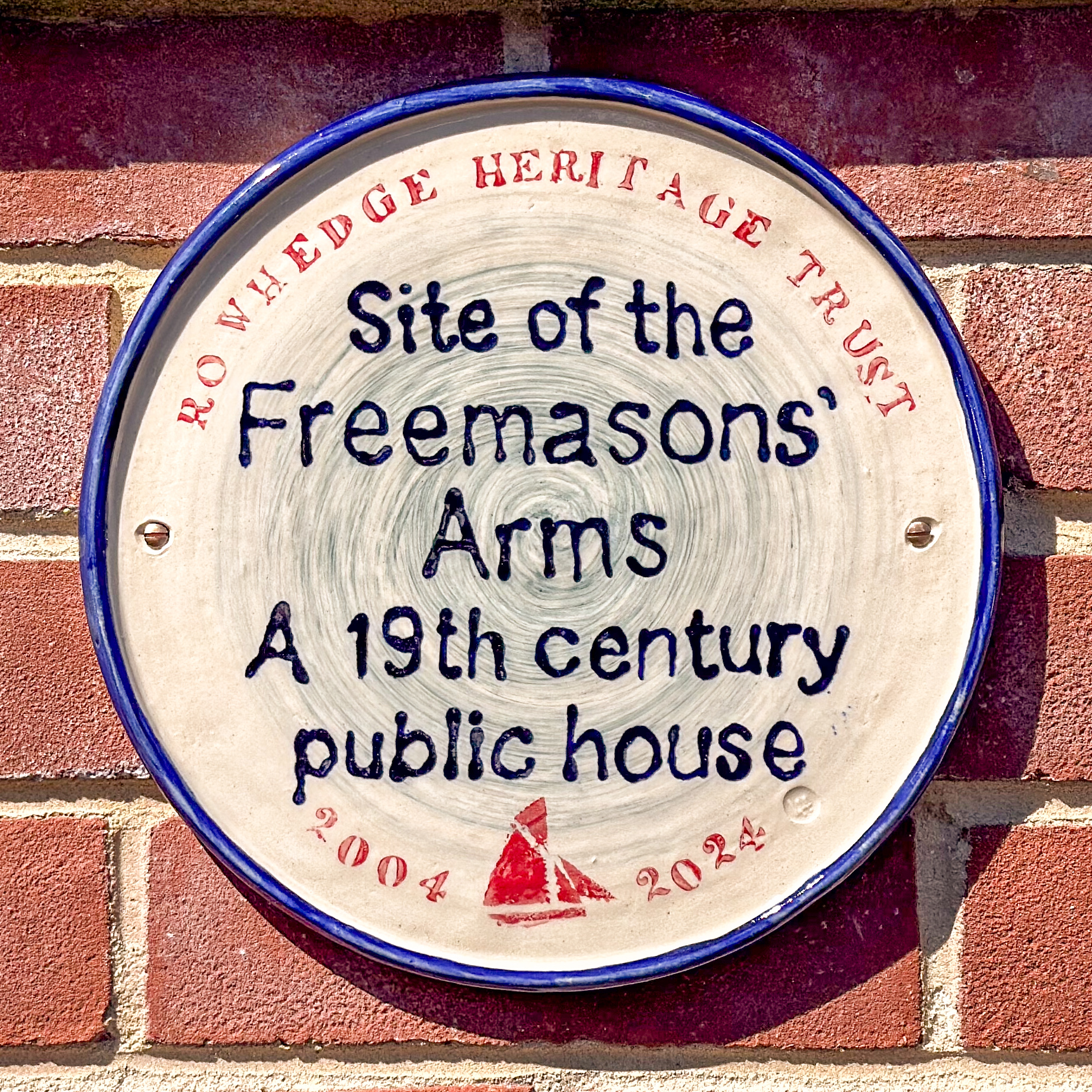
This was the site of the Freemasons’ Arms, a 19th century beer house which later became a pub. The original house (called Wright Villa) was built in 1862. Several additions were made to this building to enlarge the pub. During the 1980s Church Harvest Festival Services were held here. The pub closed in 2007 and was demolished in 2013, making way for the present car park and houses beyond.


7. Apple Tree Inn
Locate in Google Streetview
The Apple Tree Inn only ever had one landlord: William Taylor was originally a ship’s carpenter from Great Wenham in Suffolk. For at least twenty years (1871-1891) he was described as a ‘beer house keeper’ of The Apple Tree Inn. The name suggests it could have been a cider house and we wonder if William gave his name to Taylor’s Road? The present owner has planted an apple tree in the back garden, but no-one seems to know the origin of its prominent plaque stating ‘Envied Industry’.


[return to interactive map]
8. The Old Schoolhouse
Locate in Google Streetview
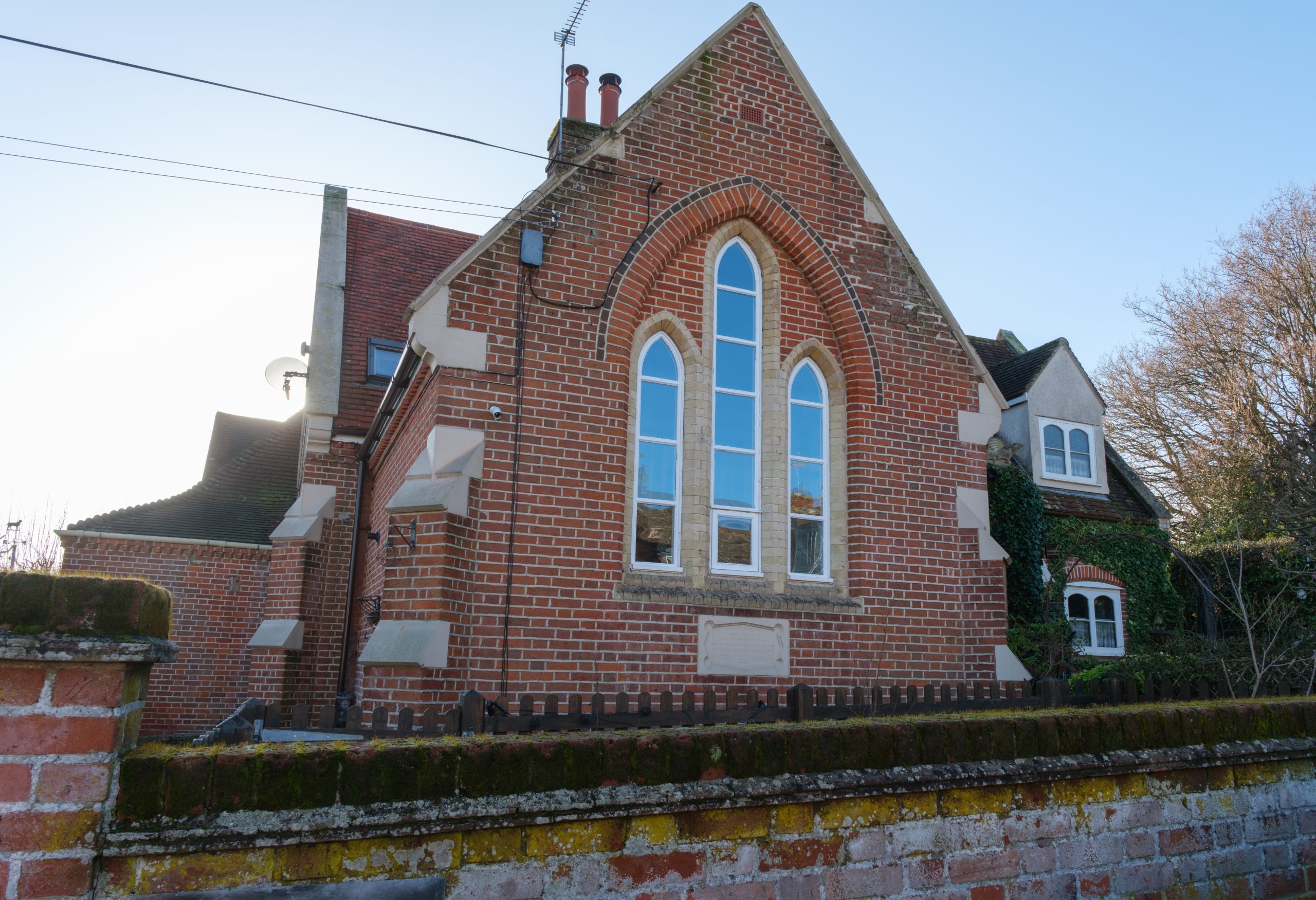
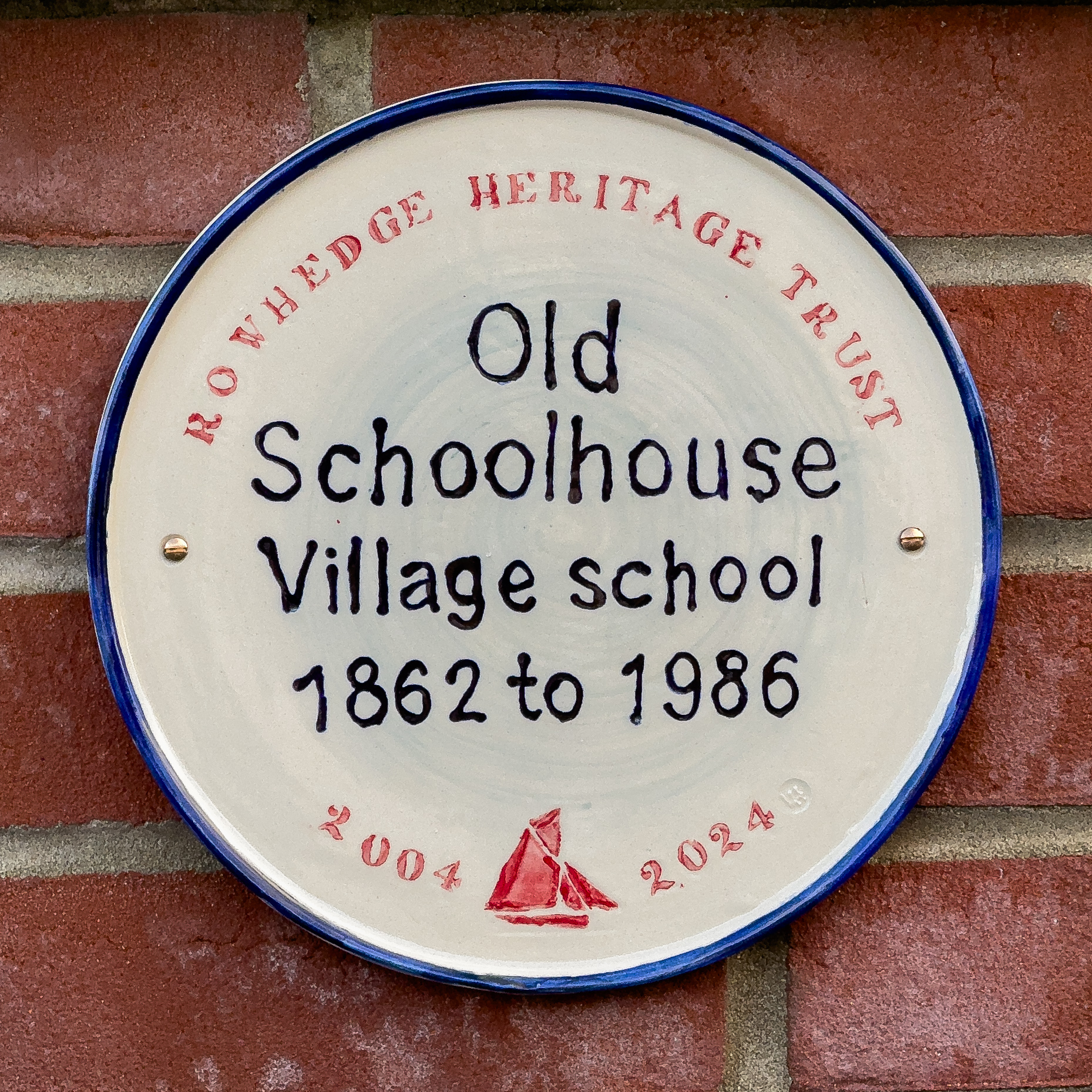
When the Reverend Vicesimus McGie Torriano, Rector in the Parish of East Donyland in the early 1800s, negotiated the purchase of land upon which to build a new church he also thought to make provision to include “space requisite for the erection of schoolrooms for the children of the Parish”. The land was sold to the church by Robert Pitt, the Licensed Victualler of the Ship Inn (see 7. below). The church was built in 1837 but the school was not completed until 1862, a month before the Reverend Torriano died. A new school building was built in Rectory Road and the old school closed in 1986 when the building was converted into apartments.

9. Ferry Hard
Locate in Google Streetview
The Rowhedge to Wivenhoe Ferry operated from the Ferry Hard from 1718 or even earlier. The right to run the ferry was handed down or sold on like any other business. The ferryman was at his busiest during the first half of the twentieth century taking shipyard workers across the river to & from the Wivenhoe yards. There was a ferryman’s hut on either side of the river, beside The Anchor pub on this side. The last Rowhedge Ferryman, George Sandford, died in 1968 and since the 1980s the ferry has operated at weekends, run by volunteers.


10. Ship Hotel
Locate in Google Streetview
The earliest record we have of The Ship is on a hand drawn estate map dated 1733. It was formally recorded in 1758 and throughout the 18th and 19th centuries as an inn (and sometimes a shop). It closed as an Inn in 1914. On Regatta Days prizegivings were held on the green in front of the hotel, followed by singing and dancing. When it was in the ownership of Walter Oxton, one of the founders of Rowhedge Ironworks (the shipyard), it became known as the Ship Hotel. The Curle family (which ran the nearby London Stores) moved in during 1928 when it became a private residence. The building was turned into two separate dwellings in the 1970s.


11. Blacksmith’s Workshop
Locate in Google Streetview
The site of a Blacksmith’s workshop from before 1733 and throughout the eighteenth and nineteenth centuries. During the twentieth century the ‘Old Black Shed’, which has been such an important element of the familiar waterfront view of Rowhedge, was used as a fish shop, a coal shed and garage before being demolished in 1999. It was then reproduced as an extension to Ferry Cottage next door.


12. London Stores
Locate in Google Streetview
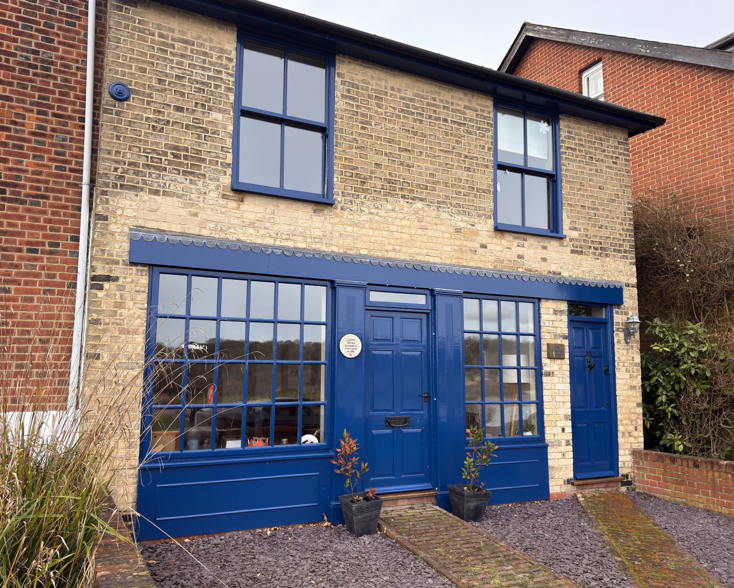
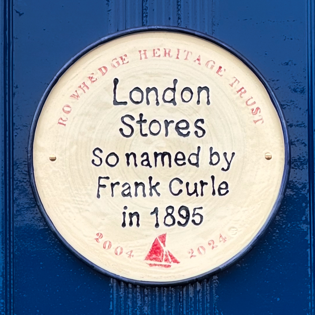
Records show that there had been a grocer’s shop here since at least the 1850s. Frank Curle, after having run shops in Bury St Edmunds and Walton-on-the-Naze, decided to try his chances in Rowhedge. In November 1895 he purchased James Mason’s shop and its accommodation upstairs and moved in with his wife and daughter. Presumably, because he came from London, and, maybe to give it a bit of class, Frank named his shop ‘London Stores’. The shop later became Springett’s Greengrocers.


13. Quay House
Locate in Google Streetview
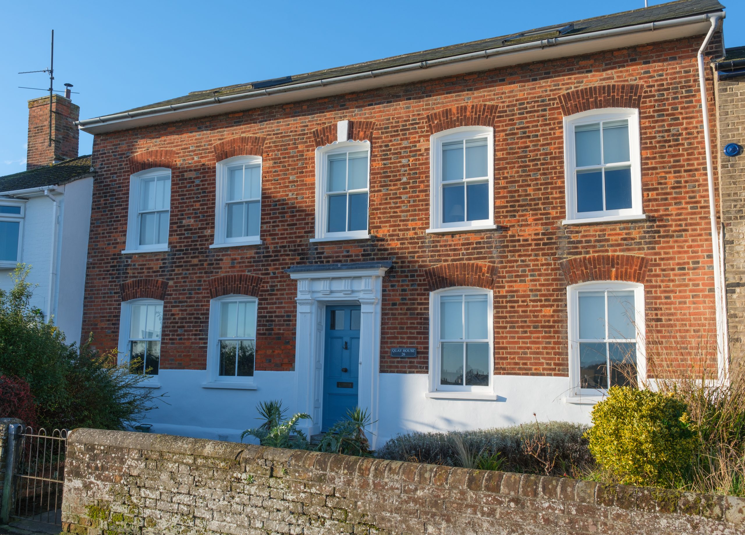
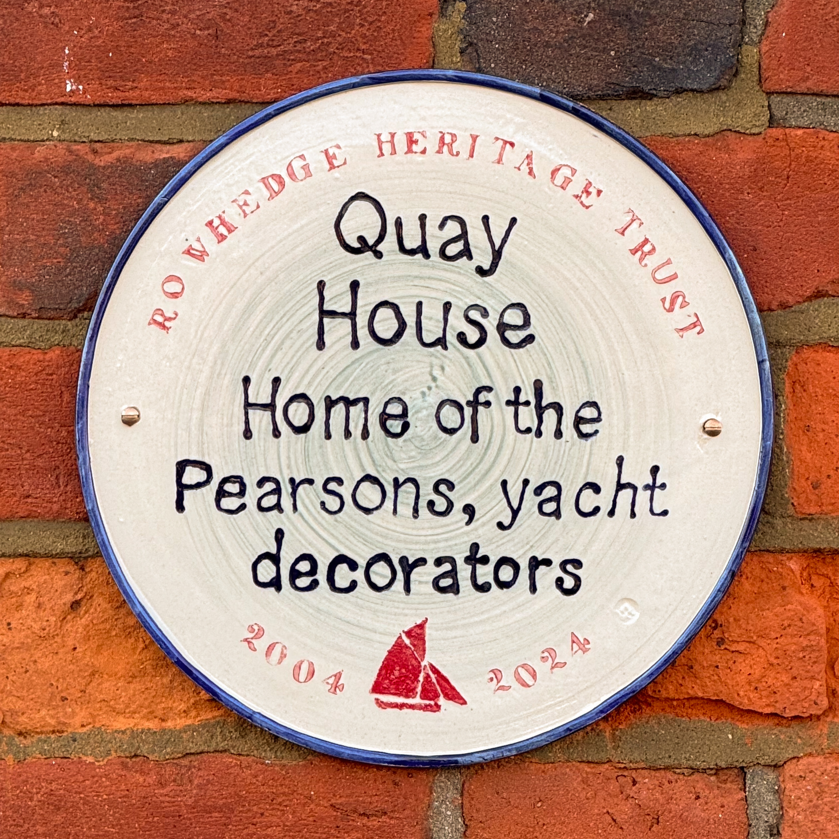
Formerly known as Crab Tree House and dating back to the 16th century, the building now has a Georgian brick façade. During Rowhedge’s maritime heyday it was owned by the Pearson family, two generations of which were yacht painters and decorators. Pearson’s Quay, opposite, was acquired by the Parish Council in the 1970s.

14. Britannia Cottages
Locate in Google Streetview
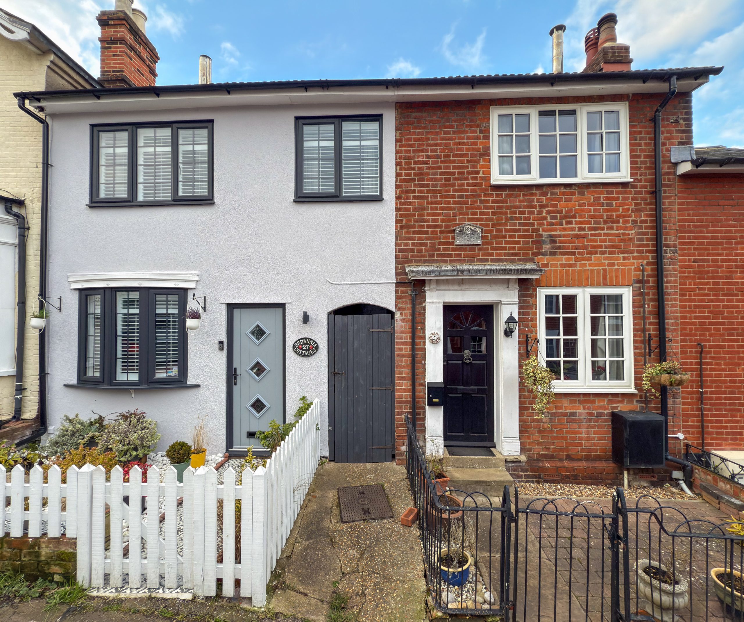
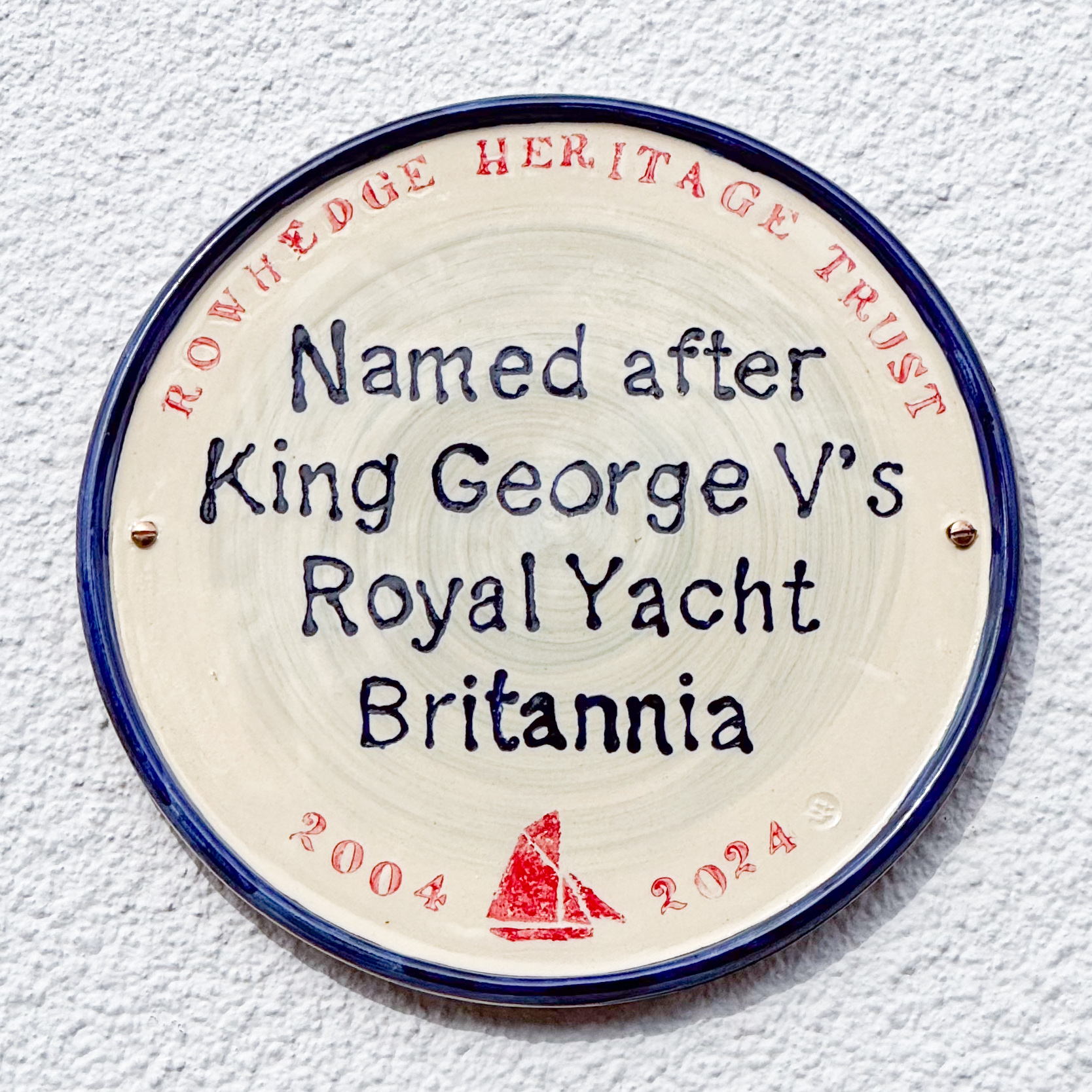
King Edward VII’s yachting captain, John Carter once owned this house, which is named after the Royal Yacht Britannia, built on the Clyde in 1893. During his service for the King, Carter started 219 times and won 147 prizes, 122 of which were firsts. The total value of these prizes was £9,973 (a huge amount, equivalent to over £1m today). Foremost amongst his triumphs were the victories in 1893 over the American yacht Navahoe and in 1894 over the other American entry, Vigilant. In these two years Carter’s popularity reached its zenith. Britannia later became King George V’s racing yacht, sailing under Captain Turner of Wivenhoe. The new King was so fond of her, he ordered that upon his death (in 1936) she should be stripped and scuttled rather than decline under another owner.
17. Donyland Brewery Bottling Shed
Locate in Google Streetview
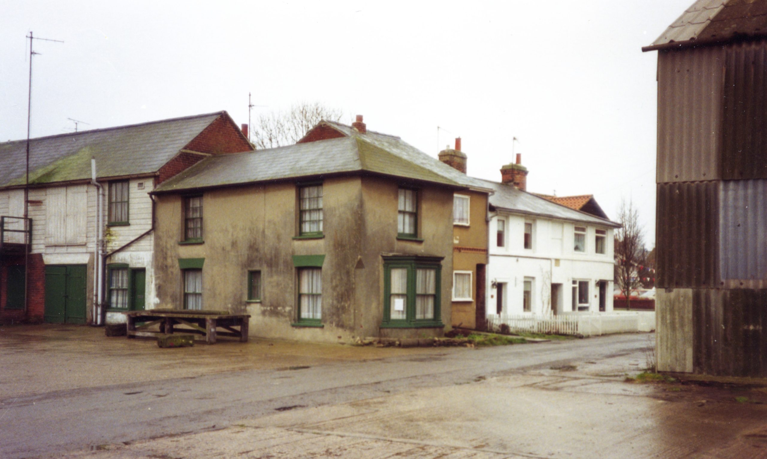
This building housed the bottling plant for Daniell & Sons Ltd Donyland Brewery (archive picture below). The Brewery, which was situated where Stephen Cranfield Close now stands, closed in 1900 but the bottling shed continued as a separate business, bottling mineral water. The building later housed part of the clothing factory, was used as a school during the Second World War and Perrot Irrigation were based here in the 1980s. It is now an office furniture warehouse & workshop.


18. Rookery Cottage & Yacht Store
Locate in Google Streetview
Rookery Cottage and the yacht store behind were built in the mid 1800s and were part of the shipyard run by the Harris family. They later became the home and workshop of Fabian Bush, Rowhedge’s last boat builder, and his family. The Yacht Store remains in use as a boatbuilding workshop and is the only remaining part of the once extensive lower boatyard.


19. Pump House
Locate in Google Streetview
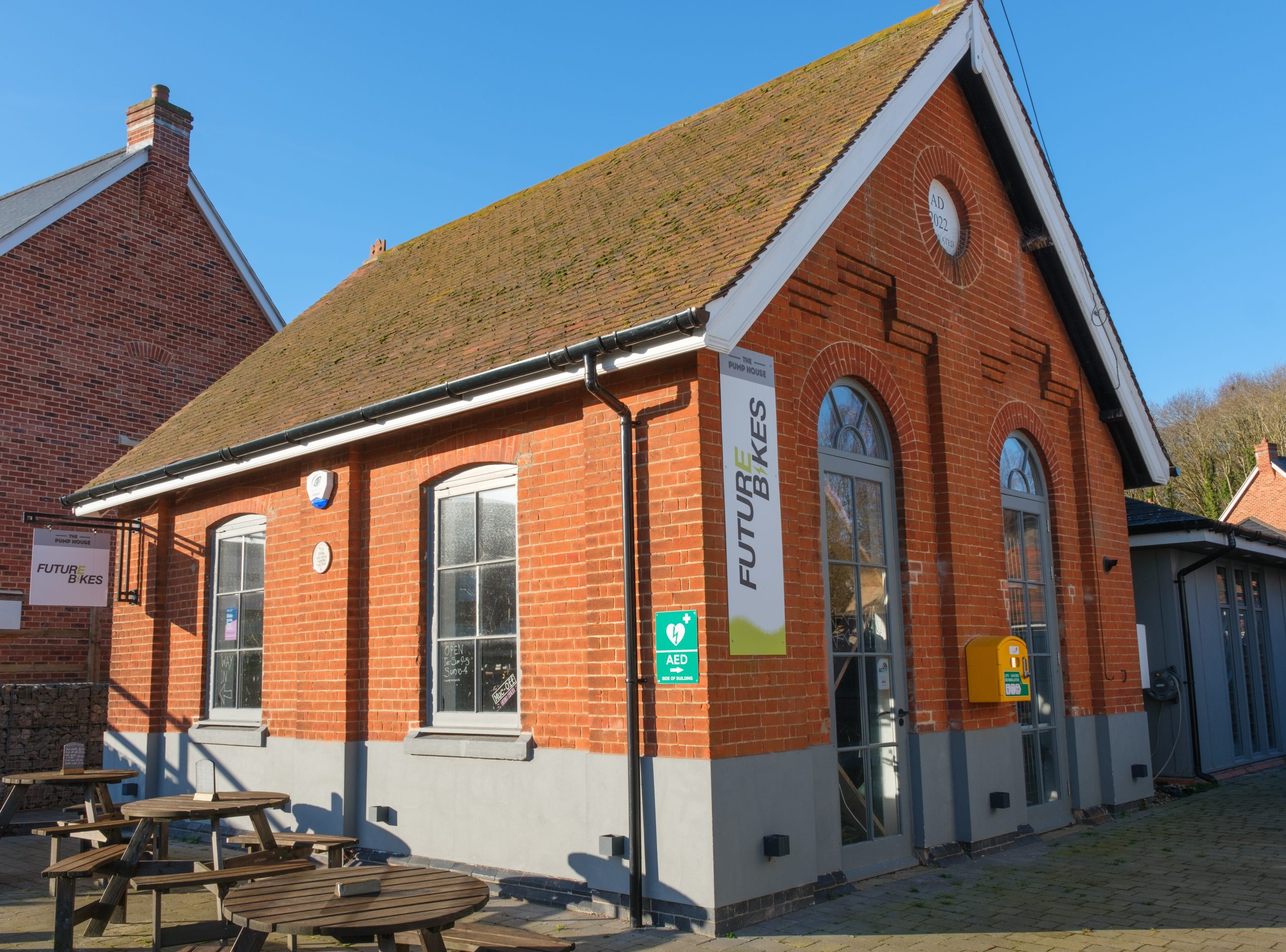
This building was erected in 1903 to pump water from the nearby well up to the large water tower that still stands in Parkfield Street. At the time Rowhedge had its own water supply. The pump was said to be very noisy and would operate night and day, 365 days a year.

Note:
The plaques described here have been installed by RHT to mark buildings and sites that have historical significance within the village. In addition, as you walk around Rowhedge you may also see traditional Blue Plaques on a couple of buildings. This is a separate scheme administered by East Donyland Parish Council that commemorates significant individuals from the village.